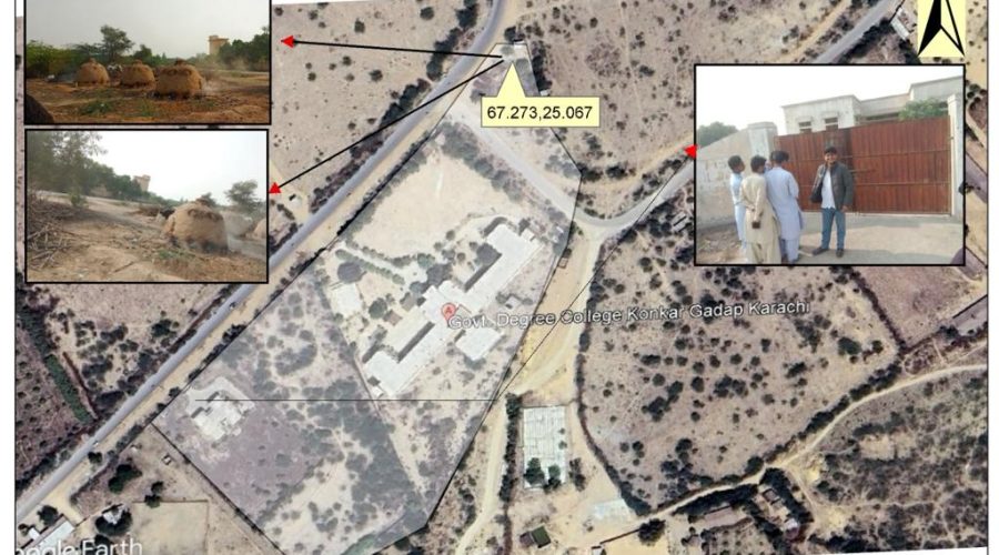
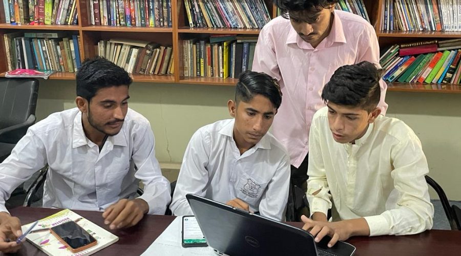
The Climate Action Center has formed a GIS Mapping Group, comprising professionals with expertise in Geographic Information Systems (GIS) and mapping. The primary objective of this group is to empower the youth and communities within Karachi by imparting essential skills in GIS, data management, and practical data collection.
Why
This initiative addresses Karachi’s urgent environmental challenges due to rapid urbanization. By empowering local youth and communities with GIS skills, we promote a deeper understanding of the environment. Through the GIS Mapping Group, we train and enable them to document and highlight environmental issues using data and mapping.
How
CAC conducts GIS workshops in collaboration with different organizations, schools, and universities. Through these collaborative efforts, we will create a network of individuals and institutions. This network will be equipped with the knowledge and skills to document and address environmental issues through mapping.